
Difficulty: Explorer (Level 1)
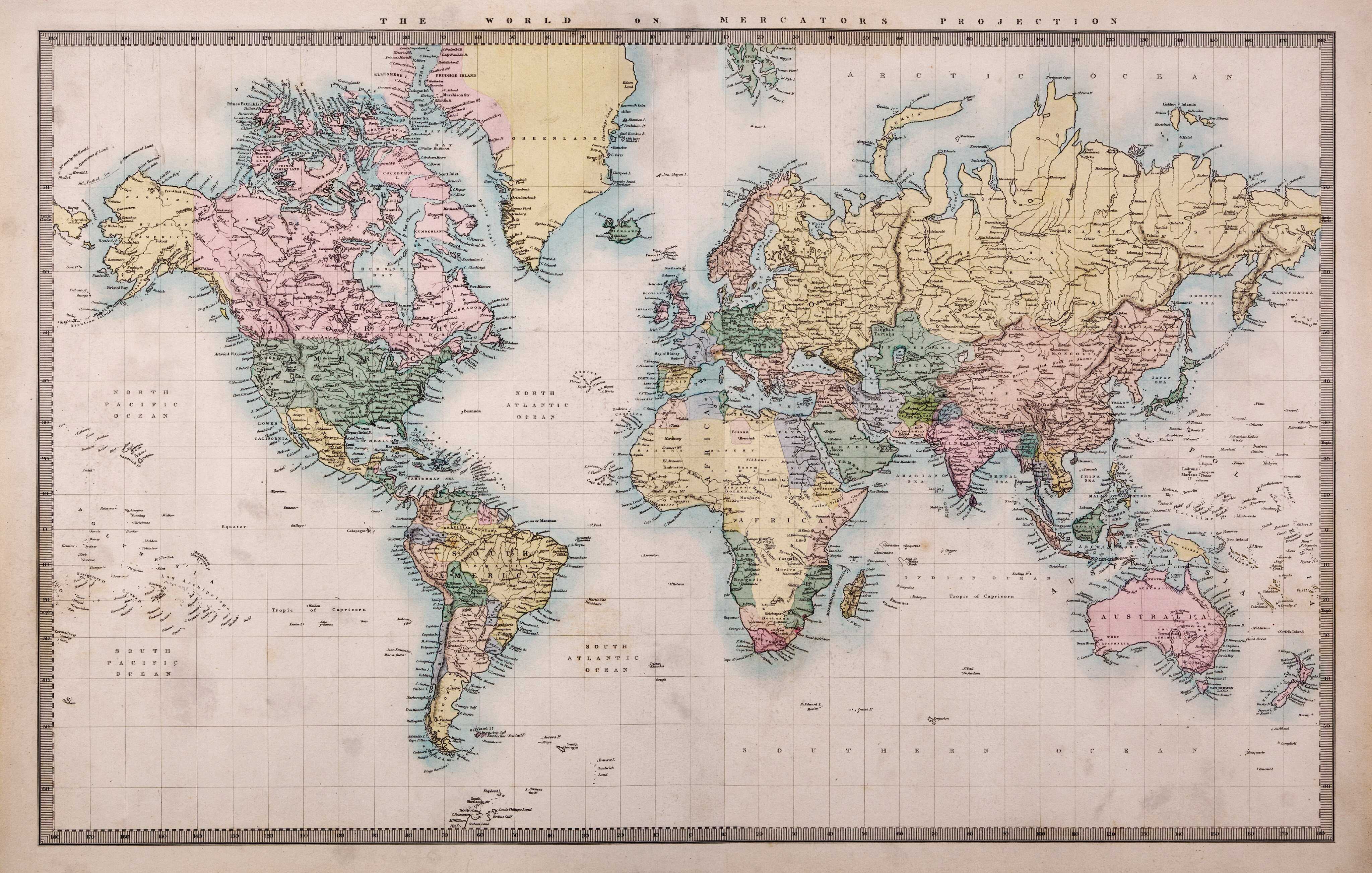
Maps are among the most important inventions in history. Cartography is the science of making and using maps, and its history goes back generations. The earliest surviving maps include cave paintings and ones carved into stone. The ancient civilisations of Greece, Rome, China, and India produced many maps.
One of the most famous historical mapmakers was Claudius Ptolemy. He lived in Alexandria, Egypt around 2,000 years ago. Ptolemy studied many travel documents and stories to map thousands of locations. He used a grid system of lines going from side to side or up and down to show where these places were located.
Maps are often either political or physical. The most important purpose of the political map is to show borders. Meanwhile, physical maps show features of geography such as mountains, soil type, or land use.
People used to make maps by hand and look at paper versions to figure out where to go. Now, we rely on computer software to create them, and we view them using our smartphones. The world is always changing, and new countries are still emerging today. This means that maps will continue to change as well.
Exploring a world map
Materials
-
large paper world map
-
marker
-
computer or tablet
Instructions
1. Take a world map and open it up. Lay it on the ground, facing up.
2. Get a marker and remove the cap. Stand high above the ground, or, with the help of a parent, stand on a chair and hold the marker out, tip facing down. Drop the marker onto the map.
3. Find the dot on the map to see where the marker landed. You will learn more about whichever country has the marker’s dot.
4. Get a computer or a tablet to look for information about the country. Here are some questions to answer:
-
What is the capital of this country?
-
When was this country founded?
-
What are some traditional foods in this area?
-
What do tourists like to visit?
-
Who are some famous people from this country?
-
What is the weather like?
Create a hanging banner of flags

Materials
-
3 sheets of white construction paper
-
crayons
-
long white string or ribbon
-
scissors
-
hole puncher
Instructions
1. Choose six countries in the world that you want to visit and research their flags.
2. Cut the construction paper into halves and draw a flag on each half. For some of the more complicated flags, you may need to print out pictures.
3. Once you have finished colouring all the flags, use a hole puncher to punch a hole near the top left corner and the top right corner of each one. Thread the string through each flag, making sure they all face the same way.
4. Hang your banner somewhere in your room or your home.