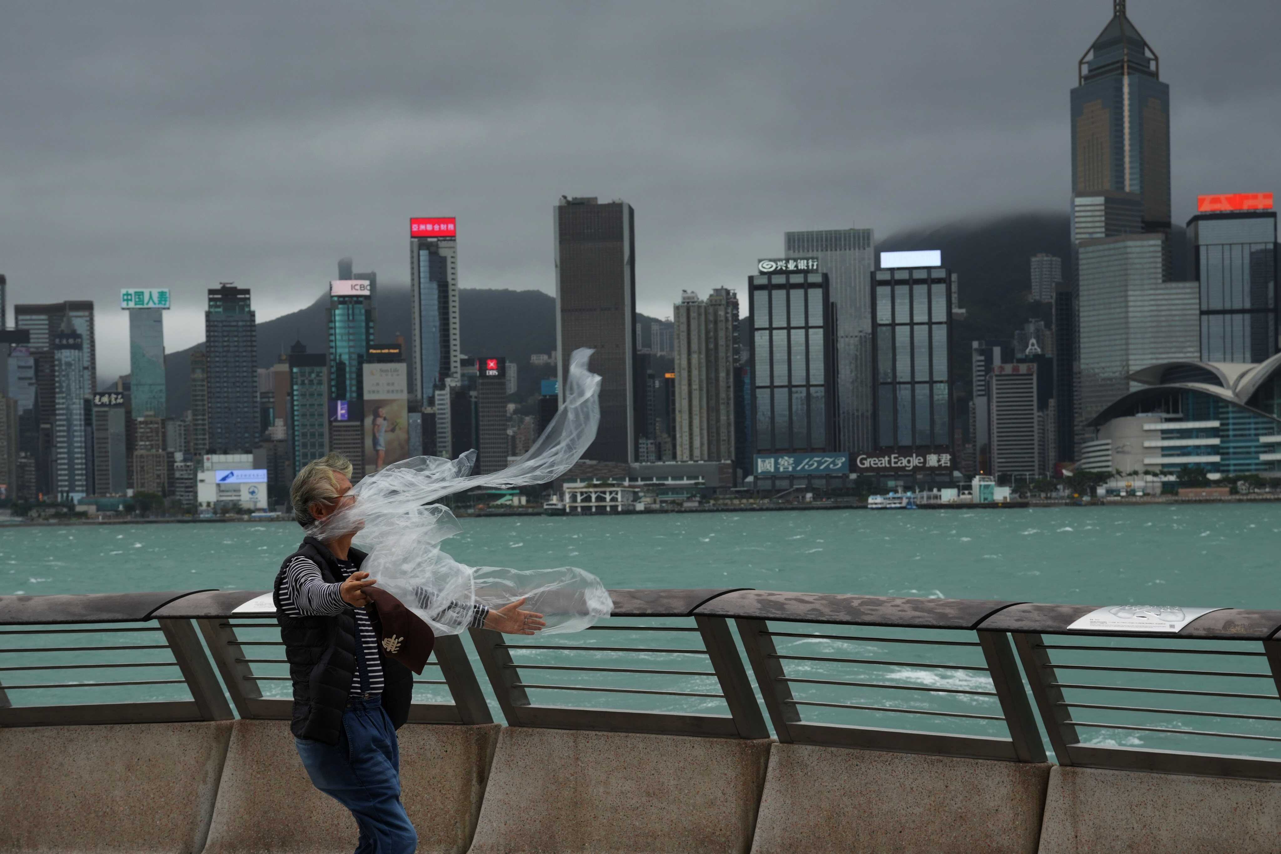
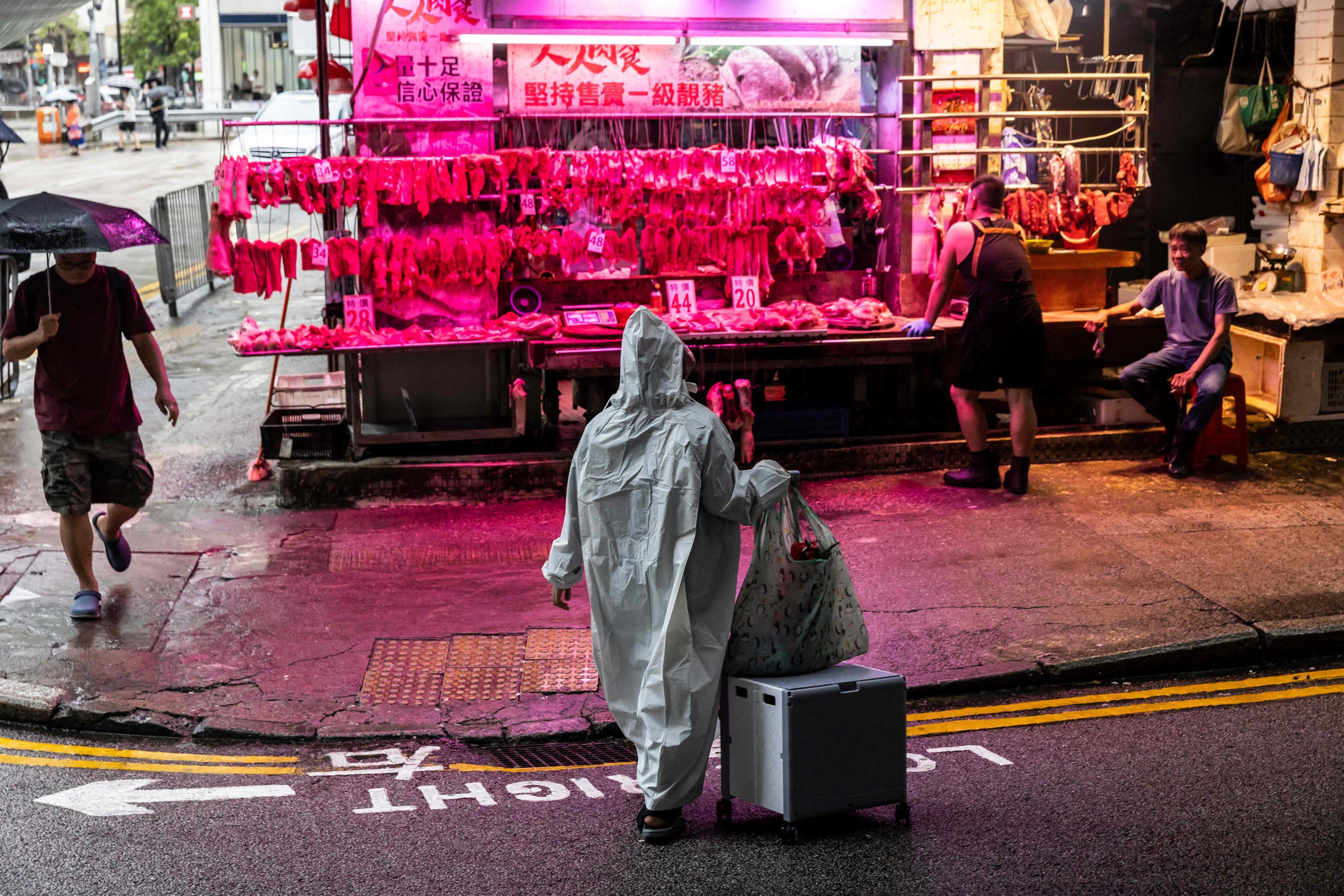
Hong Kong’s weather forecaster has warned of up to five more typhoons within 500km (310 miles) of the city before the end of the year. Residents should brace for unsettled weather.
Hong Kong Observatory said the figure was above normal and predicted that the coming months would be rainier and hotter than usual due to warmer-than-average sea surface temperatures in the Pacific Ocean.
On Saturday, the forecaster confirmed a broad area of low pressure located within 800km of Hong Kong had brought unsettled weather to the central and northern parts of the South China Sea. The low-pressure area drifted north in the general direction of the vicinity of Hainan Island and the coast of western Guangdong province.
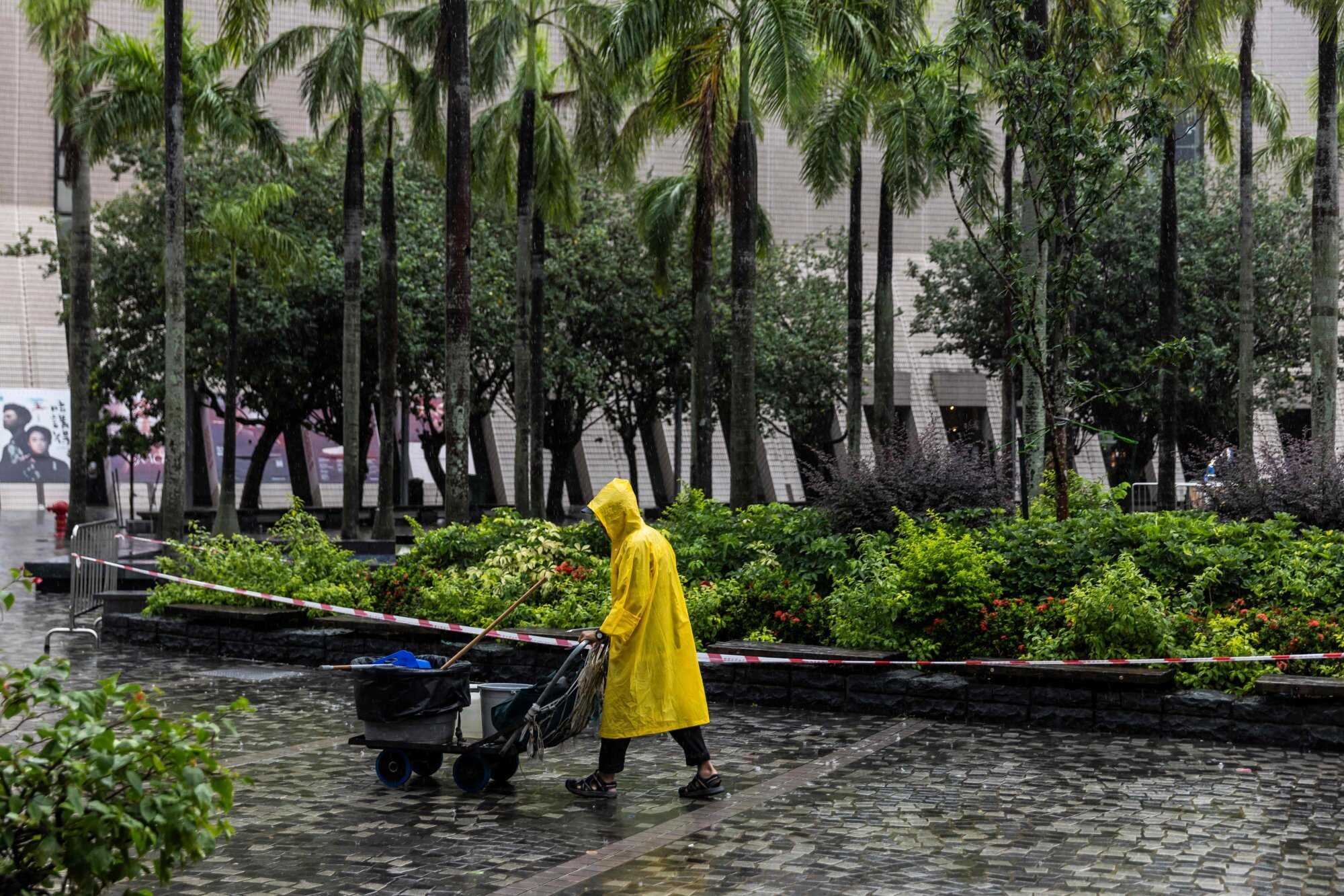
Fourteen typhoons affected the North Pacific Ocean and South China Sea from the beginning of this year to August 15, five of which entered within 500km of Hong Kong and prompted the issuance of storm signals.
The forecaster said that the number exceeded the average of 3.8 typhoons typically observed during the first eight months of the year, attributing the increase to two factors – elevated ocean temperatures and a higher frequency of subtropical high-pressure ridges.
It also said the sea surface temperatures in the western Pacific had hovered above average for most of this year. This extensive warmth generated ample thermal energy and increased atmospheric instability, which in turn fuelled cumulus convection and supported the development of typhoons.
The Observatory added that the subtropical ridge extended westwards throughout most of the summer, particularly in June and August.
This created a favourable channel for easterly winds to flow south of the ridge over the waters east of the Philippines, allowing tropical disturbances or cyclones forming in the northwest Pacific or South China Sea to move towards the northern part of the South China Sea.
“This increases their chances of coming within 500km of Hong Kong,” the Observatory said, forecasting a rainier and warmer period between September and December than average.
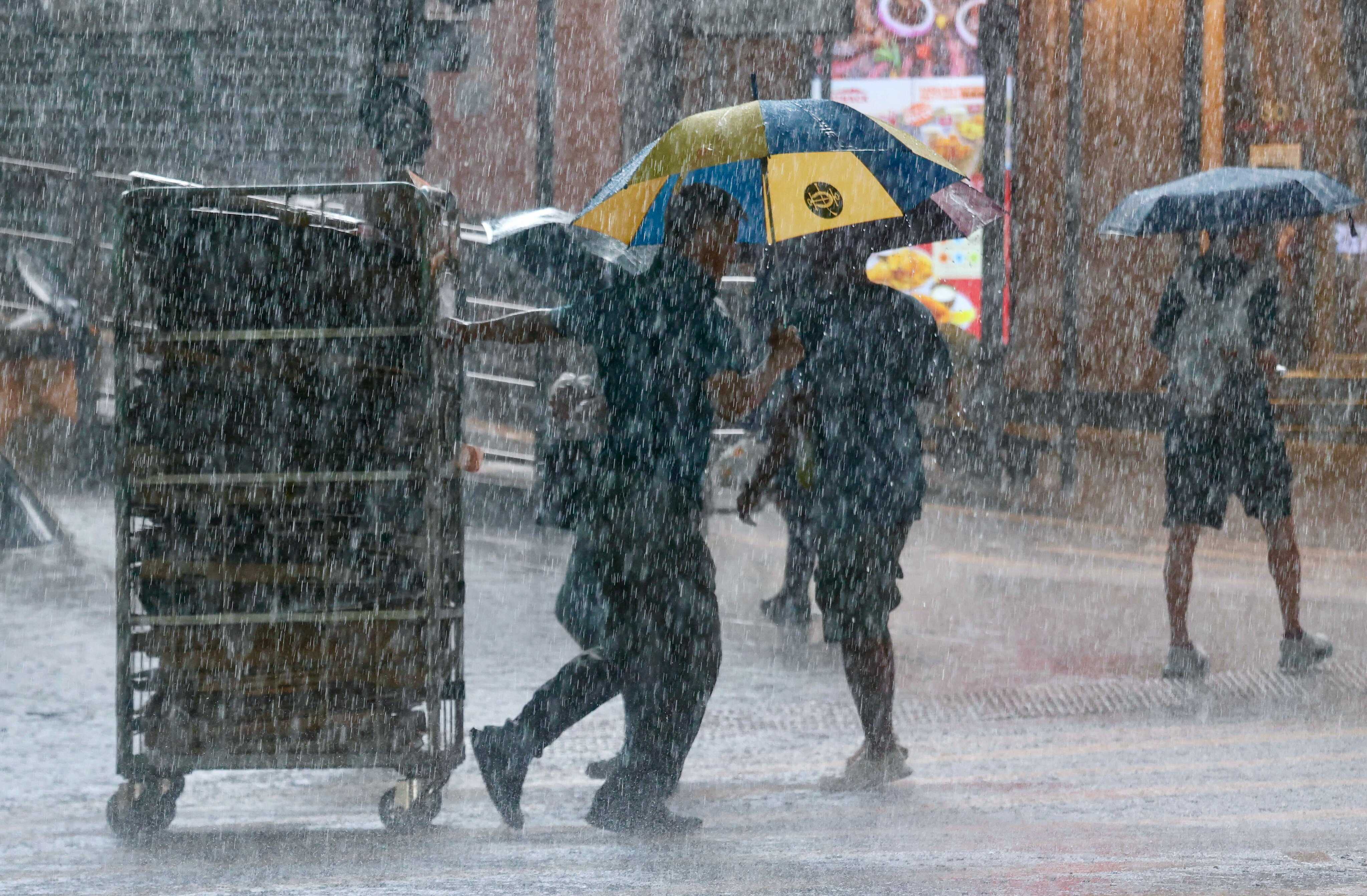
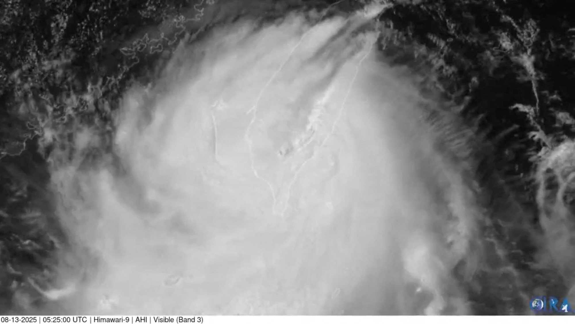
Last week, the city experienced heavy downpours that triggered the fifth black rainstorm warning signal of the year, under the influence of Typhoon Podul that swept across the southern tip of Taiwan. The black warning is the highest level in a three-tier system.
In early August, downpours not only triggered a black rainstorm warning but also caused flooding and landslides.
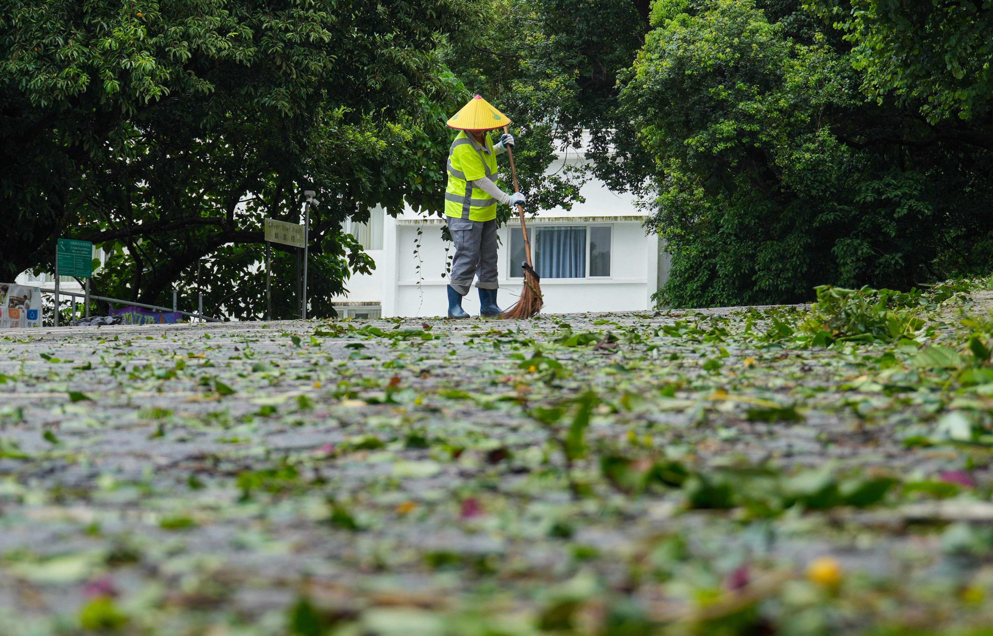
In July, Typhoon Wipha brought the city to a standstill as a No 8 signal or above was in force for 19 hours, including seven hours for the highest No 10 hurricane warning. Dozens of people were injured, with thousands of trees toppled and tens of thousands of air travellers stranded.