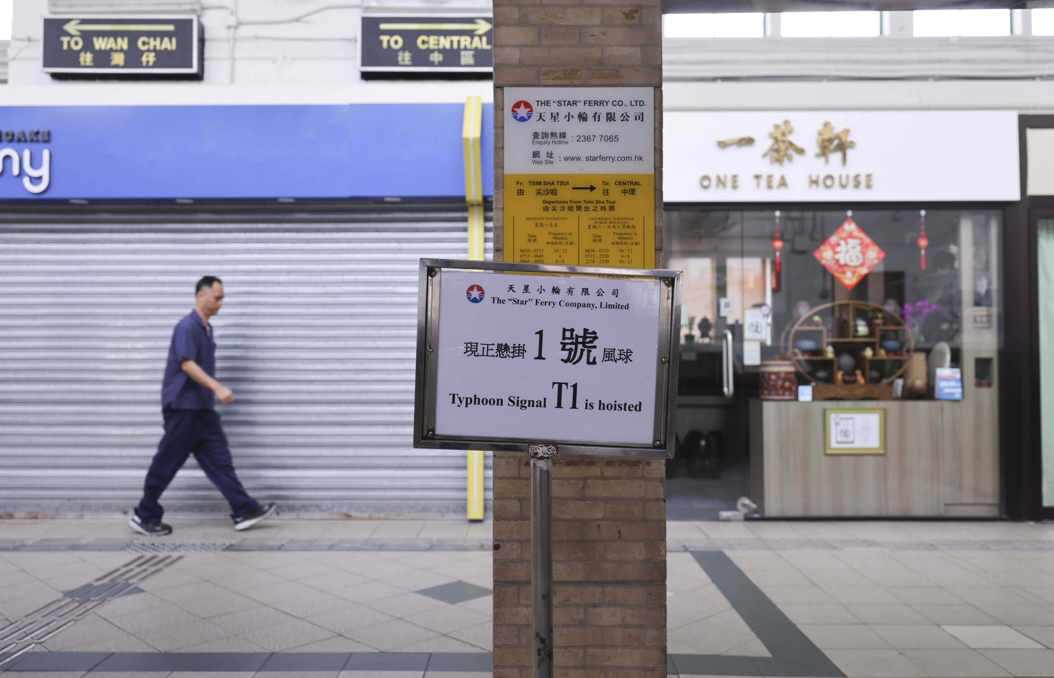
Hong Kong’s weather forecaster will maintain the No 1 signal throughout Tuesday as Typhoon Fung-wong approaches the city, although the likelihood of a higher warning remains limited.
At 9am, Fung-wong was estimated to be about 530km (330 miles) southeast of Hong Kong and was forecast to move north at about 10km/h (6.2mph) across the northeastern part of the South China Sea.
“Fung-wong is expected to come closest to Hong Kong [from later on Tuesday into the night], skirting more than 400km to the east of the city,” the Hong Kong Observatory said.
“It will then move towards the vicinity of Taiwan, departing from Hong Kong and weakening gradually. Unless Fung-wong adopts a track closer to the coast of Guangdong, the chance of issuing the No 3 signal is relatively low.
“Due to the terrain’s sheltering effect, the chance of experiencing persistent strong winds across the area is relatively low. The No 1 signal will remain in force during the day on Tuesday.”

With Fung-wong departing, local weather will then be dominated by the northeast monsoon. Fung-wong means “phoenix” in Cantonese.
The Observatory will consider replacing the No 1 warning with the strong monsoon signal, depending on changes in local wind conditions.
Under the combined effect of Fung-wong and the monsoon, it will be windy with swells over the coast of Guangdong on Tuesday and Wednesday.
The weather is mainly cloudy on Tuesday with bright periods during the day and one or two rain patches at night, with temperatures ranging from 22 to 25 degrees Celsius (71.6 to 77 Fahrenheit).
Conditions are expected to improve over the region in the latter part of this week.
A replenishment of the northeast monsoon is expected to reach the coast of southern China early next week. Temperatures will fall and the weather will be dry over the region.