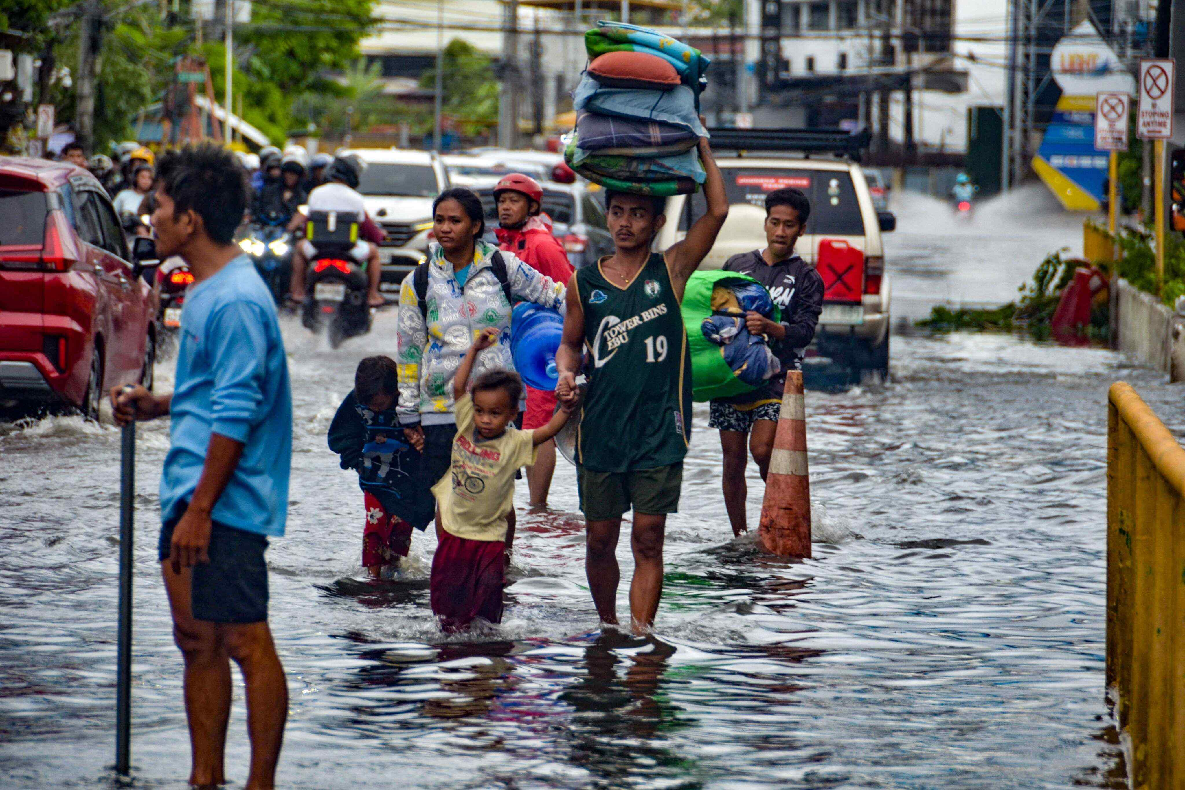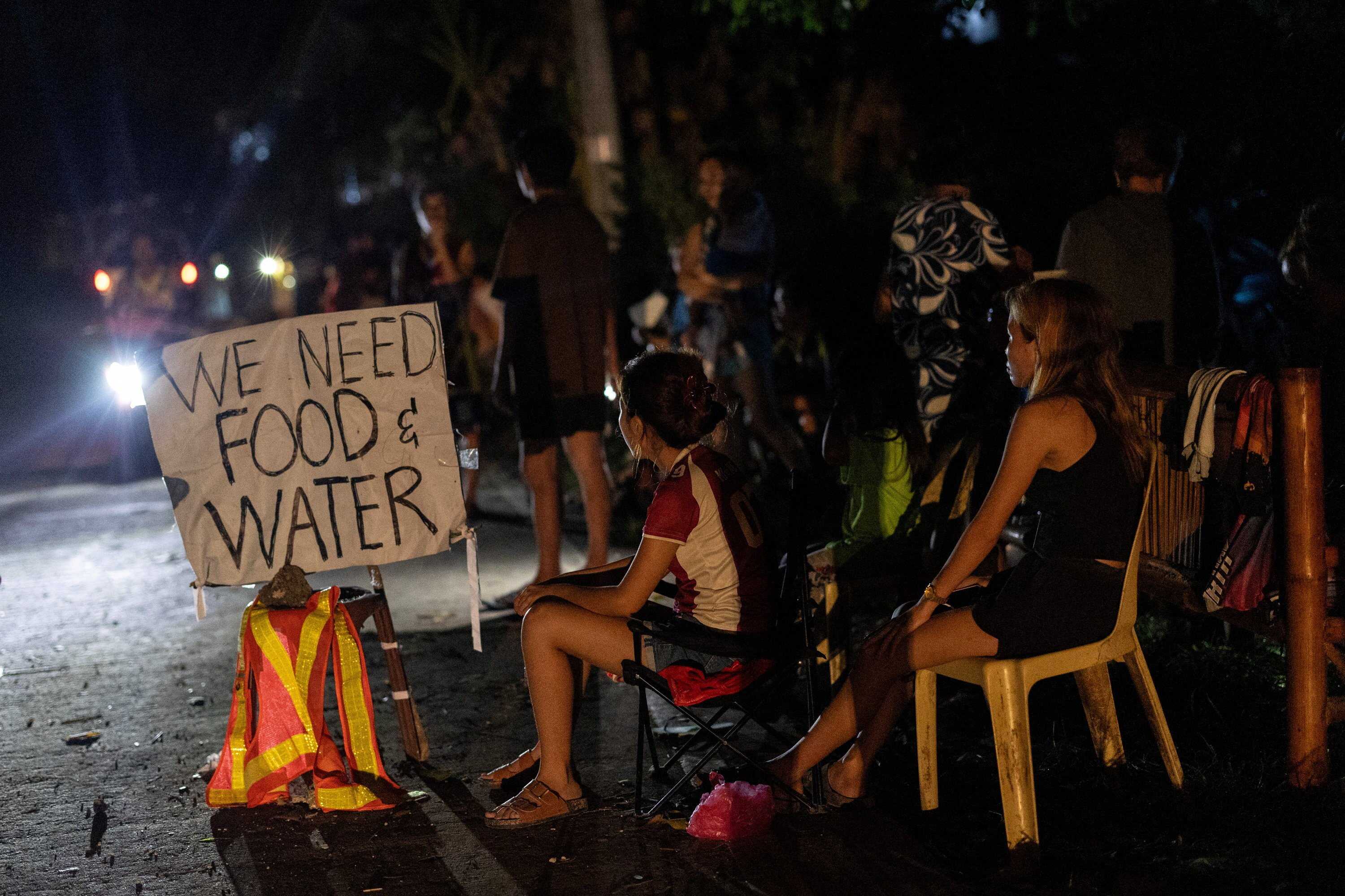
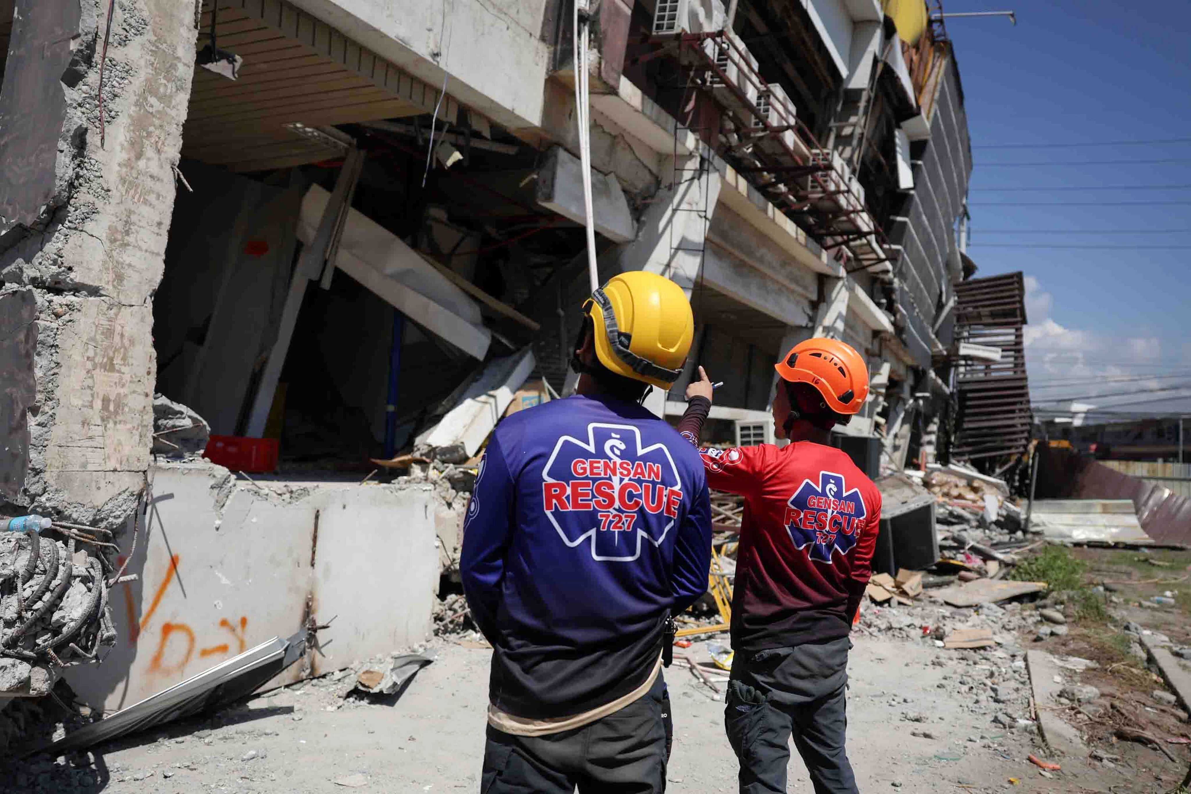
A day after one of the strongest earthquakes to hit the Philippines in half a century, rescuers continued to search through ruined buildings in the south to ensure no one was still trapped. At least 37 people have been killed, and more than 20,000 have been displaced.
Only four people were considered missing in the official records in the southern provinces where the 7.8-magnitude quake had struck Monday morning. But the Office of Civil Defense acknowledged that several collapsed and heavily damaged buildings must be thoroughly inspected for possible survivors or casualties.
The earthquake centred off Mindanao, the second most populous Philippine island, injured nearly 500 people and displaced more than 20,000 – most of whom fled to emergency shelters.
Many people who left their homes feared a tsunami. Waves up to 1.4 metres (4.6 feet) above tide level were measured in the Philippines, but the only tsunami damage reported was to six shanties on stilts in a coastal village. Smaller waves washed ashore in Indonesia and Palau, and as far away as southern Japan.
Landslides and building collapses caused several deaths
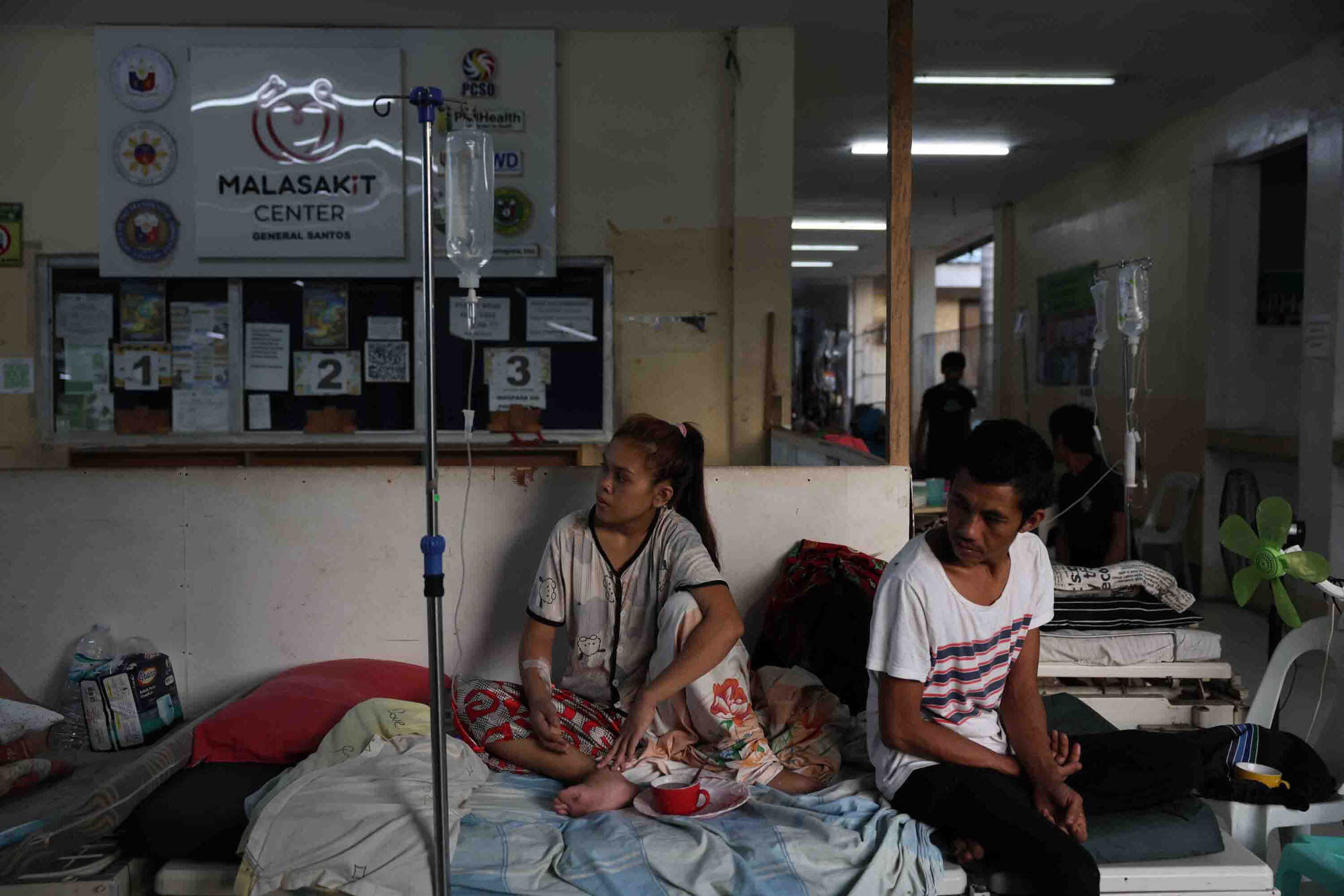
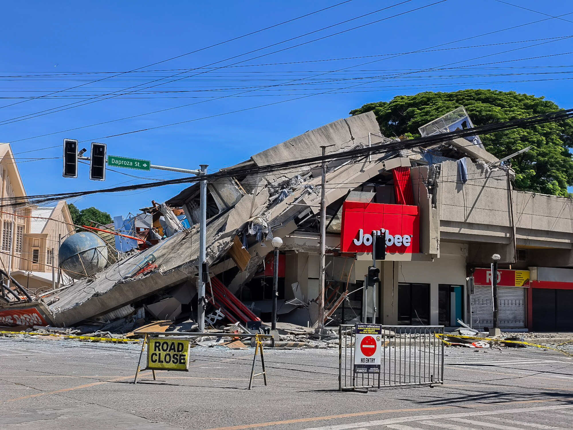
The earthquake left a trail of destruction, including in General Santos, a lively coastal city of more than 700,000 people known as the country’s tuna capital. At least 13 people were killed by falling debris and collapsed buildings.
At least 18 died in Sarangani province, mainly in a landslide that buried houses in the mountainside town of Glan, according to Rafaelito Alejandro of the Office of Civil Defense. The other deaths were reported in the southern provinces of South Cotabato and Davao Occidental, and on Balut Island, disaster-response officials said.
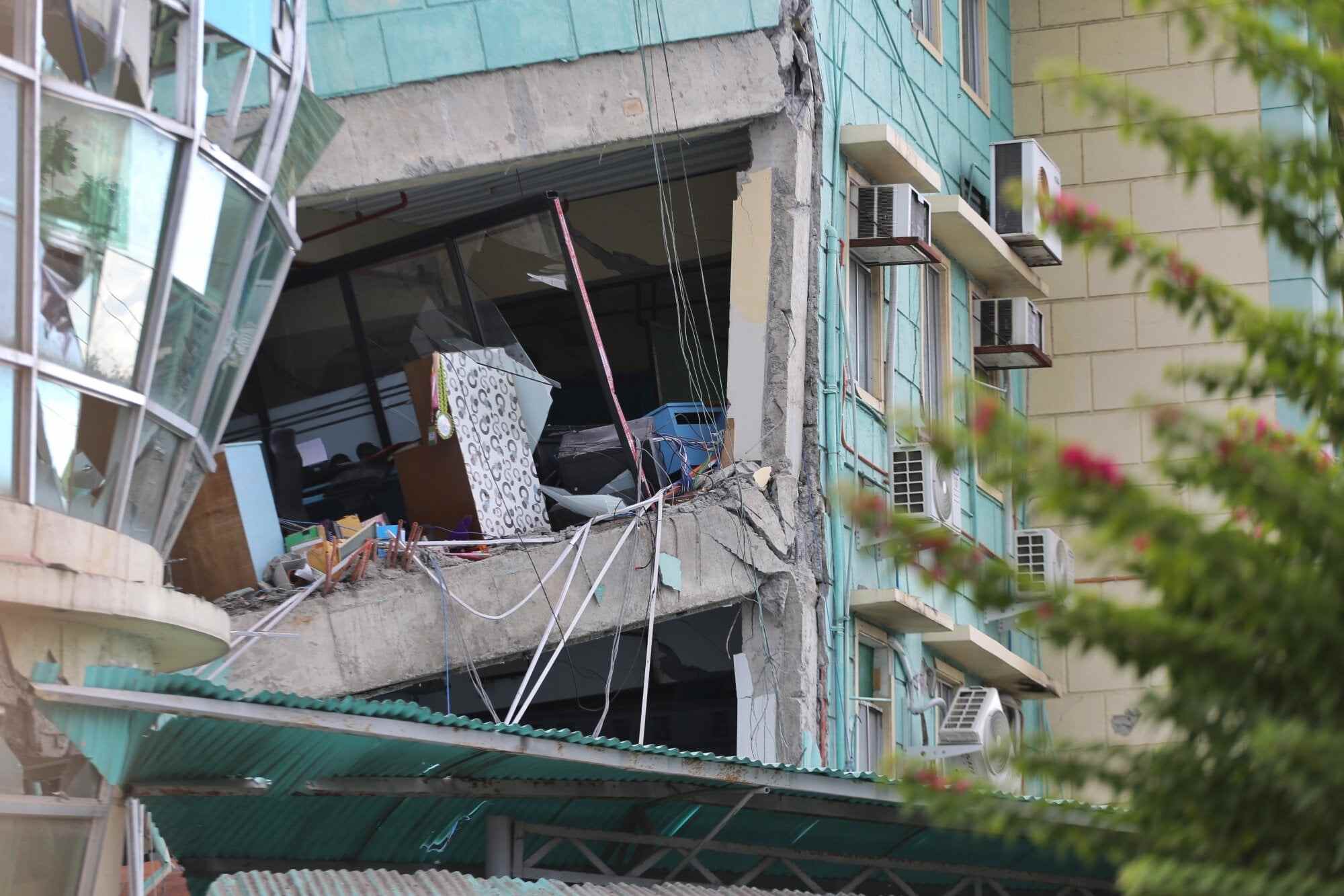
About 2,000 houses and 117 government buildings and facilities were damaged in several provinces, according to an initial government damage assessment. The international airport in General Santos remained shut, forcing the cancellation of 63 domestic flights except for those on humanitarian missions.
About 6,000 public school buildings in quake-hit provinces must be assessed before classes can resume. The quake struck on the first day of classes nationwide after a two-month summer break, and many of those injured were young students who had gathered excitedly for morning flag-raising ceremonies.
Authorities have warned that buildings that sustained cracks could collapse due to aftershocks, which could be dangerously powerful.
“We cannot force the immediate reopening of schools because we have to ensure the integrity of the buildings,” Alejandro said.
The strongest Philippine quake since 1976
Monday’s earthquake was centred at sea at a depth of 33 km (20 miles), about 32 km southwest of Maasim town in Sarangani province.
It was set off by movement in the Cotabato Trench and was the strongest since the same undersea depression triggered an 8.1-magnitude quake that whipped up tsunami waves on August 17, 1976, said Teresito Bacolcol, the director of the Philippine Institute of Volcanology and Seismology.
About 8,000 people died from that quake and tsunami waves of up to 8 to 10 metres that engulfed several towns and provinces, Bacolcol said.
The Philippine seismological institute was scheduled to commemorate the anniversary of the 1976 quake and tsunami in August by installing markers to remind vulnerable towns and cities of the need for constant vigilance, Bacolcol said.
A 1990 7.8-magnitude earthquake left more than 1,000 people dead, injured thousands and caused extensive damage in northern provinces and cities.
President Ferdinand Marcos Jnr deployed top defence-mitigation officials from Manila to help oversee search and rescue, the distribution of tens of thousands of food packs and construction materials to quake victims and assess damage to bridges, roads and other infrastructure.
The United States, a treaty ally of the Philippines, said it was coordinating with Manila and was ready to support Philippine response efforts. France, Japan and New Zealand also expressed support.
The Philippines is often hit by earthquakes and volcanic eruptions due to its location on the Pacific “Ring of Fire,” an arc of seismic faults around the ocean. The archipelago is also battered by about 20 typhoons and tropical storms each year, making it one of the world’s most disaster-prone countries.