
Hong Kong Observatory has warned of record high temperatures this year and next, with a developing El Nino potentially becoming the strongest on record.
The city’s weather forecaster said on Monday that sea surface temperatures in the central and eastern equatorial Pacific Ocean were expected to rise further, developing into an El Nino event this summer that would last until at least early next year and reach “strong” to “super strong” intensity levels.
El Nino is a climate phenomenon that warms surface temperatures in the central and eastern equatorial Pacific Ocean, bringing worldwide changes in winds and rainfall patterns and erratic weather.
According to the forecaster, a strong El Nino generally increases the likelihood of abnormally high temperatures in different parts of the world.
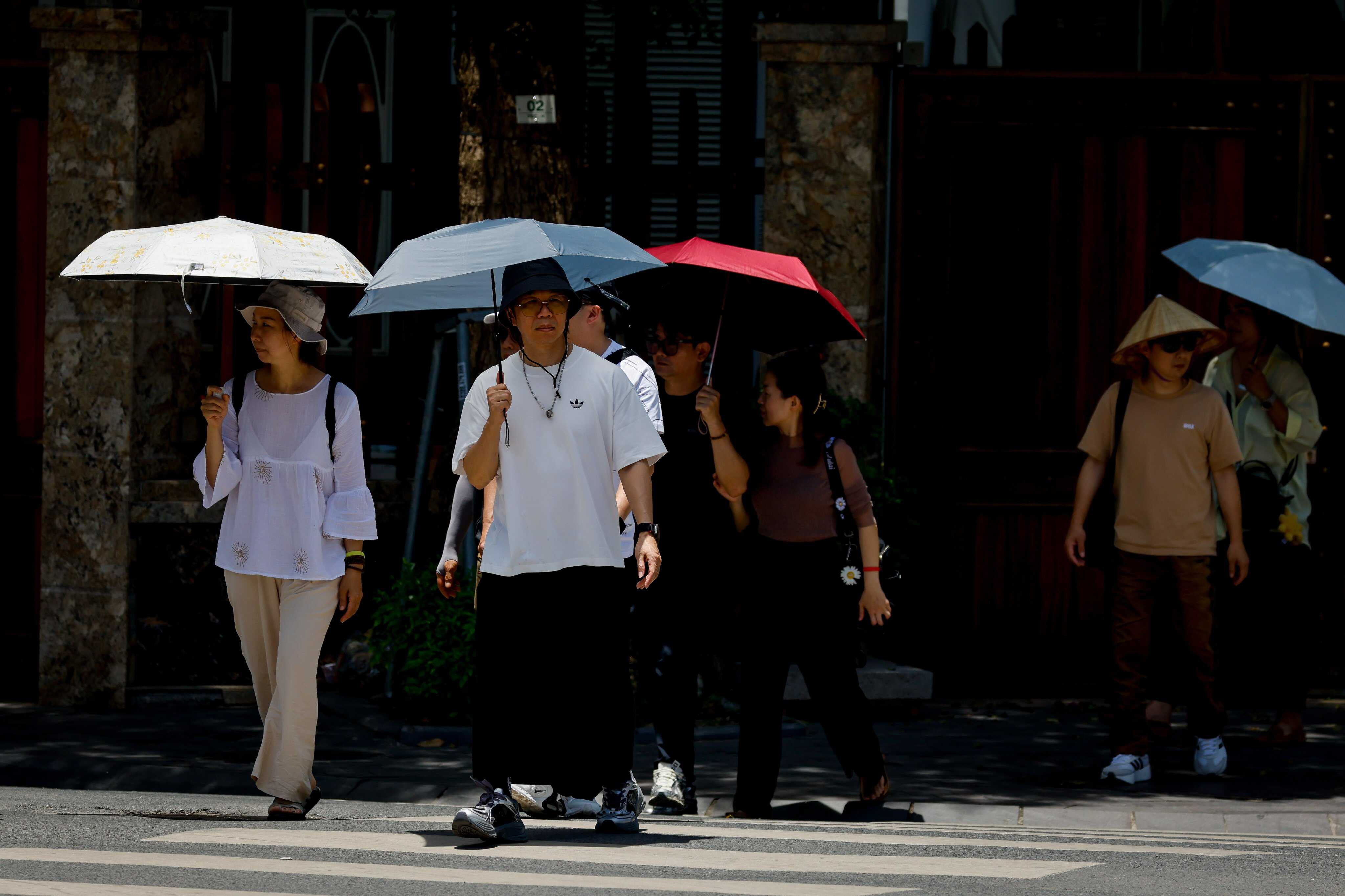
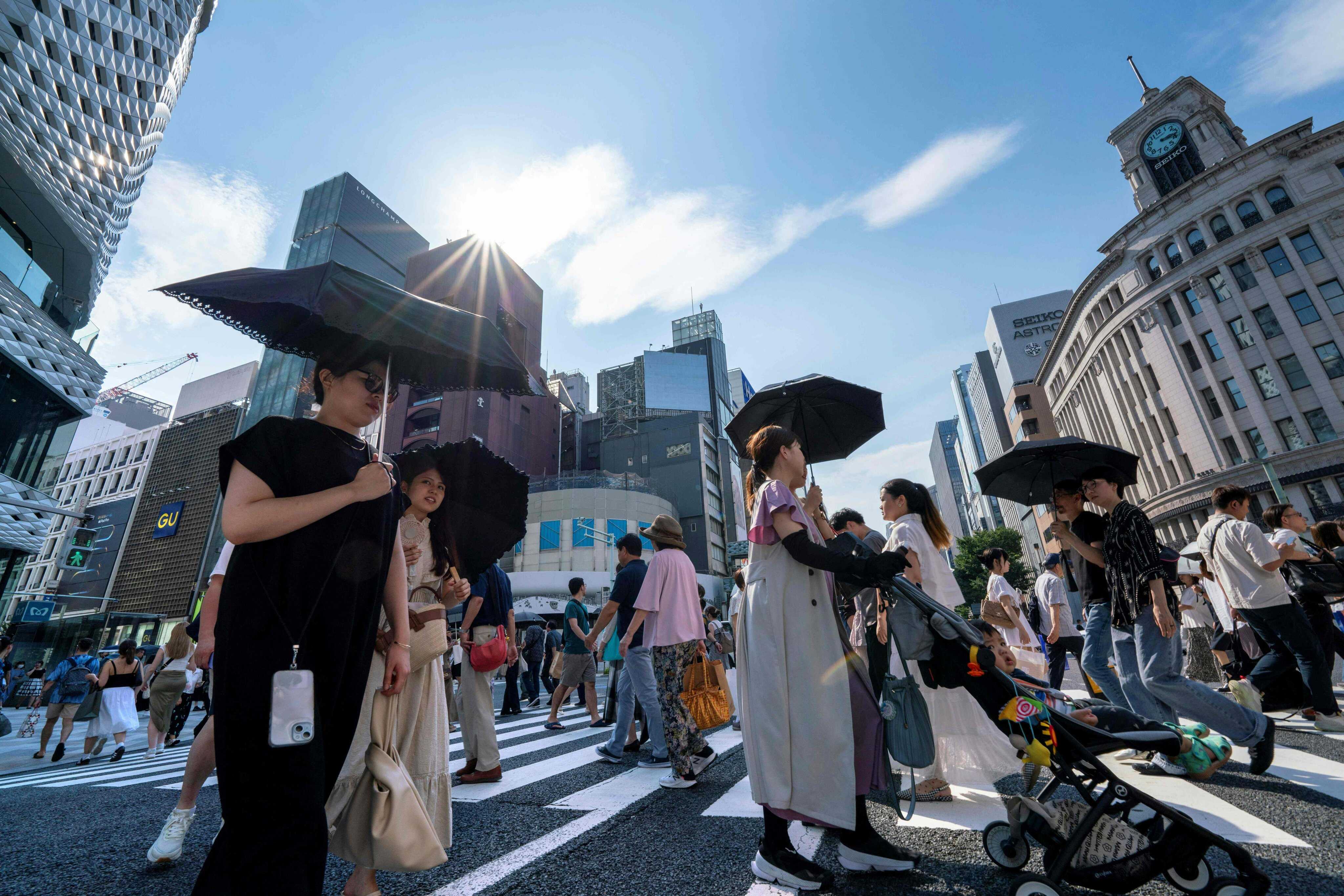
“It is expected that under the combined influence of global warming, the average temperature in Hong Kong will be significantly higher this year and next, and record-breaking high temperatures may occur,” it said.

The Observatory said the central and eastern equatorial Pacific Ocean was extensively covered by warm water – the basis for the formation of El Nino.
Latest forecasts from multiple climate models predicted that sea surface temperatures would continue to rise, developing into an El Nino event this summer that could reach “strong” or “super strong” levels of intensity, the forecaster said.
“If these predictions ultimately come true, it could break historical records, becoming the strongest El Nino event on record.”
According to the Observatory, data showed that the three most recent strong El Nino events occurred in 1997-98, 2014-16 and 2023-24, during which Hong Kong’s annual average temperature was significantly higher than normal.
The forecaster said El Nino generally brought more rain to Hong Kong in winter and spring, with no obvious trend of higher or lower rainfall in other seasons.
But it added that the combined effect of global warming and El Nino could create more favourable conditions for heavy rainfall.
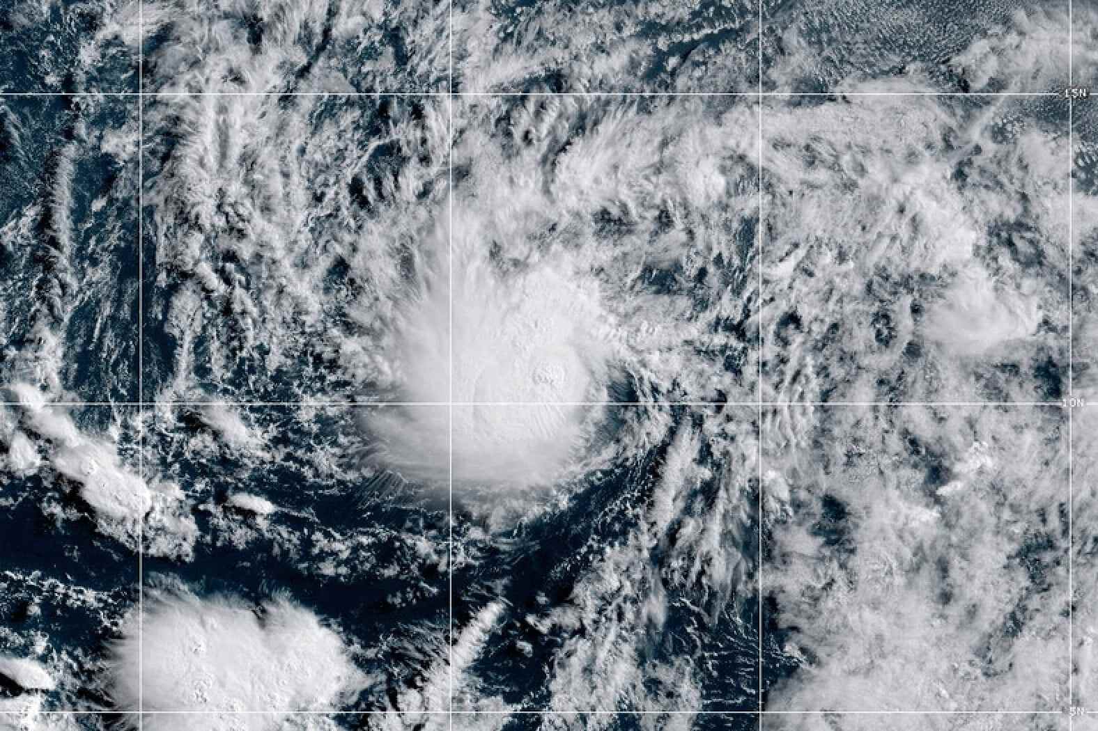
The Observatory also said that as the warm water zone during El Nino was concentrated in the central and eastern equatorial Pacific Ocean, the average formation area of tropical cyclones over the Western North Pacific would shift eastward.
This would prolong the time that tropical cyclones absorbed heat over the ocean, increasing the likelihood of typhoons developing into super typhoons.
The forecaster added that the threat of tropical cyclones to Hong Kong depended not only on their number, but also on their intensity and size.
According to the Observatory, during the previous three El Nino events, two, four and five tropical cyclones came within 500km (311 miles) of Hong Kong in 1997, 2014 and 2023, respectively. The No 8 or higher signal was issued in all three years.
“While the specific impact of this El Nino on Hong Kong remains to be seen, the combined effects of global warming and a strong El Nino will significantly increase the probability and potential risks of extreme weather events around the world,” the forecaster said.