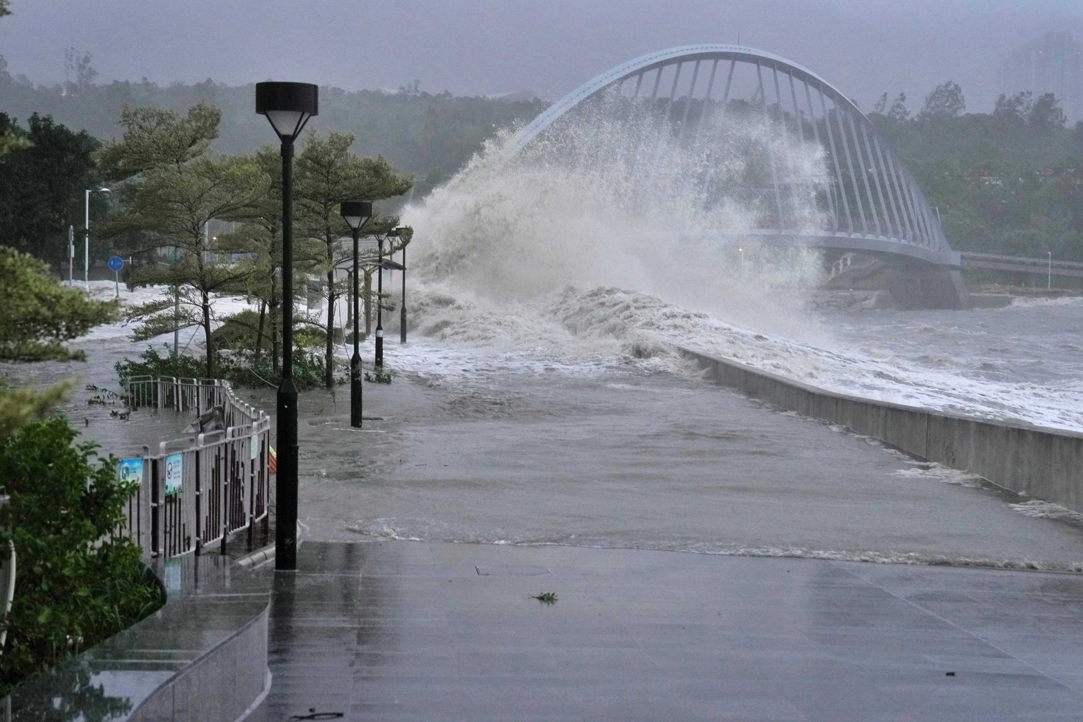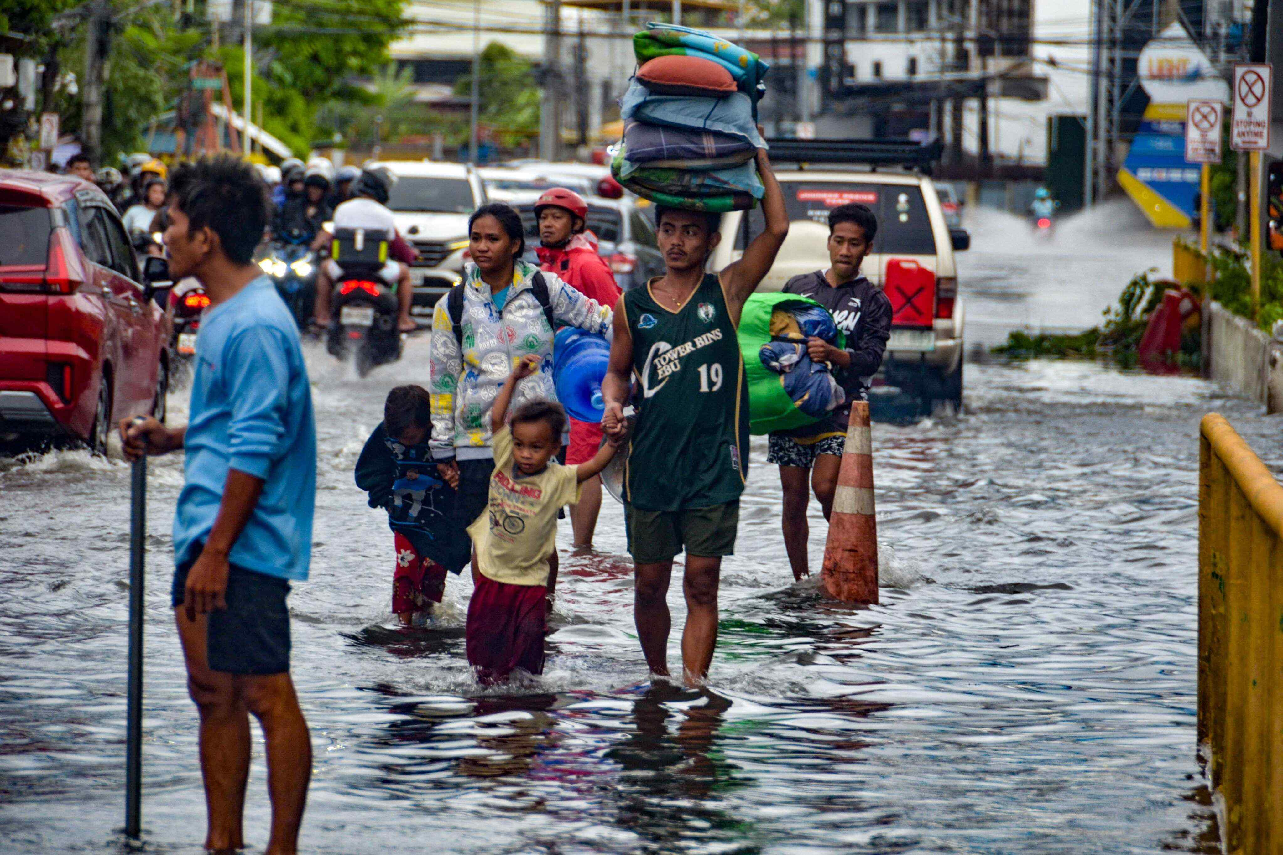

The Hong Kong Observatory will issue the No 1 typhoon signal on Thursday, potentially marking the city’s first storm of the year, as a tropical depression approaches.
Hong Kong’s weather forecaster said the storm was expected to come within 800km (497 miles) of the city later on Wednesday, before moving towards the vicinity of Hainan Island and Beibu Wan, also known as the Gulf of Tonkin, the following day.
“The area of low pressure over the central and southern parts of the South China Sea has intensified into a tropical depression,” it said. “Under its influence, local winds will strengthen on Friday and weather will become unsettled. There will be swells.”
The storm was expected to remain about 400km from the city, the forecaster added.
Squally showers are set to increase gradually, with heavy downpours in some areas, while gale-force winds are expected to affect higher ground.